
Mount Koven. The tough guy. The big question mark. The one peak that I am genuinely worried about on this trip. Its the only real obstacle standing between me and Wyoming's short yet daunting 13er list. During the last few days, despite plenty of distractions, my thoughts have never strayed too far. Other than terse guidebook descriptions I have never once come across a reference to anyone climbing it despite the fact that it lives along the Divide less than a mile from the gentle giant of the Wind River Range, Gannett Peak. A reclusive beast, Koven is generally hidden from visitors to the popular Dinwoody and Ticomb areas. But when it does occasionally rear its head it never fails to appear ferocious.
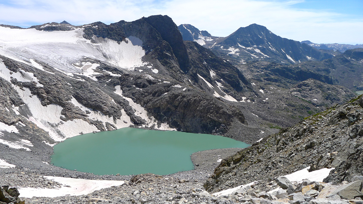
After a rough couple of days and an unexpected twist on the partner front, Dominic and I drag ourselves into camp at Scott Lake after 8pm. This is not exactly setting up to be an ideal starting point for the toughest summit bid of the trip but the bluebird forecast only persists for one more day; the monsoon is already trying to work its way back in. Ahora es Quando, baby. The time is now.
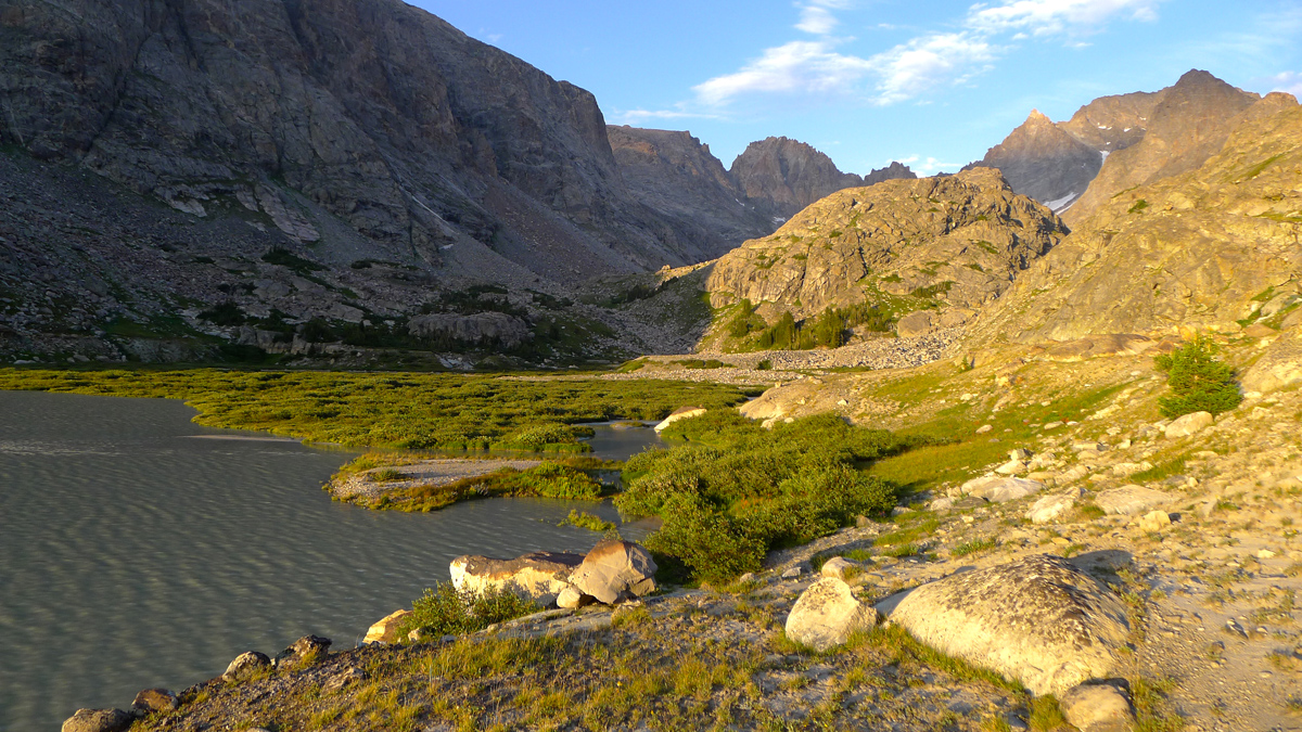
Despite my exhaustion sleep in nearly impossible. I lie awake for a long while watching scenes of peril and doom on Mount Koven play in my mind. People falling, rocks falling, lightning, you name it. It was all going on. Go to sleep you idiot, its going to be FUN, a GREAT rock climb!
Guidebooks talk almost exclusively of approaching Koven from Gannett Glacier to the east. Teresa and I backpacked down Gannett Creek last year and sized up the situation as best we could in a raging thunderstorm. The bottom of the glacier was a bit intimidating with black ice and steep snow. And Gannett Creek was certainly no picnic either. Perhaps equally unattractive was the fact that we had no other objectives in the immediate area and this would have to be a dedicated 5+ day trip for a single peak.
After much research and pouring over Google Earth Teresa devised a crafty scheme that would allow us to at least take a shot at Koven from the west while on a trip bagging other 13ers before having to resort to a dedicated expedition.
Plan A: Climb a hypothetical "not too difficult" but unknown route on the West Face. Bonney gives a curious description. Huh? Maybe we'll find a steep scree slope nobody cared to investigate? Worked on neighboring Bastion last year...

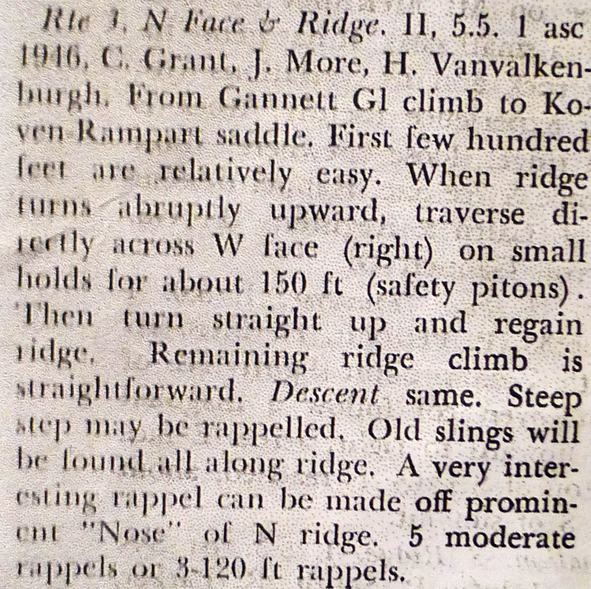
Plan B: Climb a big gully that looks like a sure thing on Google Earth to the Rampart-Koven saddle and follow the supposed 5.5 North Ridge route from there.

Six thirty isn't exactly an alpine start to be proud of but climbing such a serious peak while sleep deprived seems stupider than gambling on another cloudless afternoon. If this turns out to be a recon, so be it. We got time.
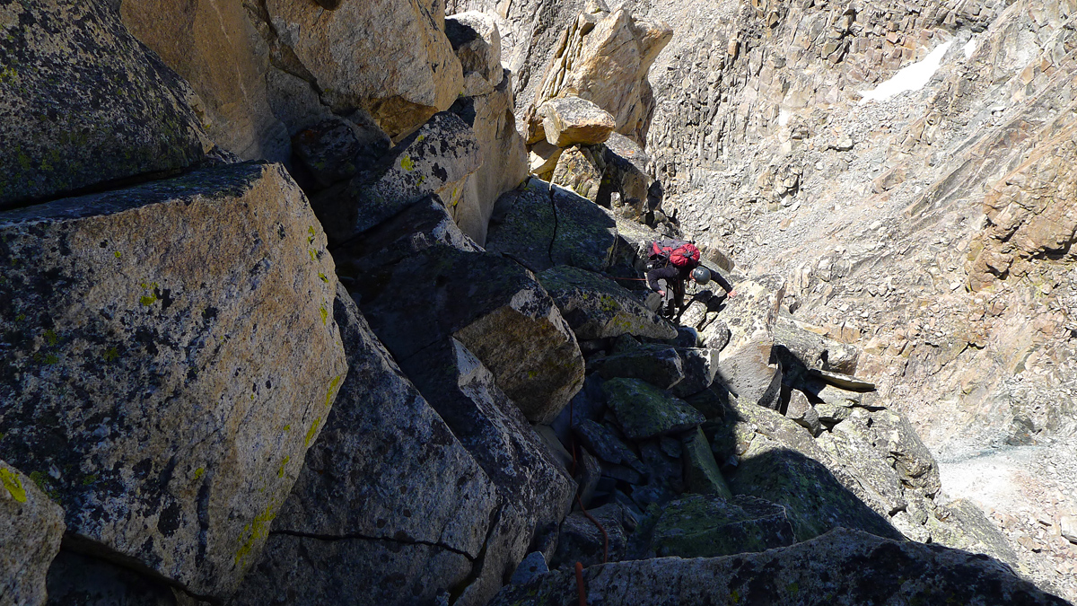
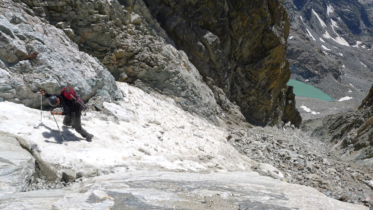
Easy but time consuming terrain leads to our access gully. It looks reasonable enough but as we start up it quickly becomes clear this puppy is not to be taken lightly. Its a real nail biter actually. Terrifying. Remotely triggering loose talus from 15 feet below is never a good feeling. Flowing scree that wants to go forever, lovely. And also a new twist we're not familiar with: potential holes to fall in. In places the talus is semi-glued together with dried mud and there are large gaping spaces underneath the unstable pile of shit. Downright creepy. Dominic speculates that perhaps this happens in couloirs that have (or used to have) semi-permanent snow. Rocks fall on the snow and then the snow eventually melts leaving the rocks all precariously stacked on each other. Whatever its is, its not good. I CANNOT recommend this route to anyone.


We breathe a huge sigh of relief when we reach the Koven-Rampart after the 1000 foot horror show. Wow. Well shit, getting to this saddle from Gannett Glacier looks like a walk in the park from here. ITS THE WAY TO GO, no doubt about that. Regardless, we're here now. Let's see if that ridge treats us any better. The GPS says we're less than 400 horizontal feet from the summit! Hah! How many hours will that take?
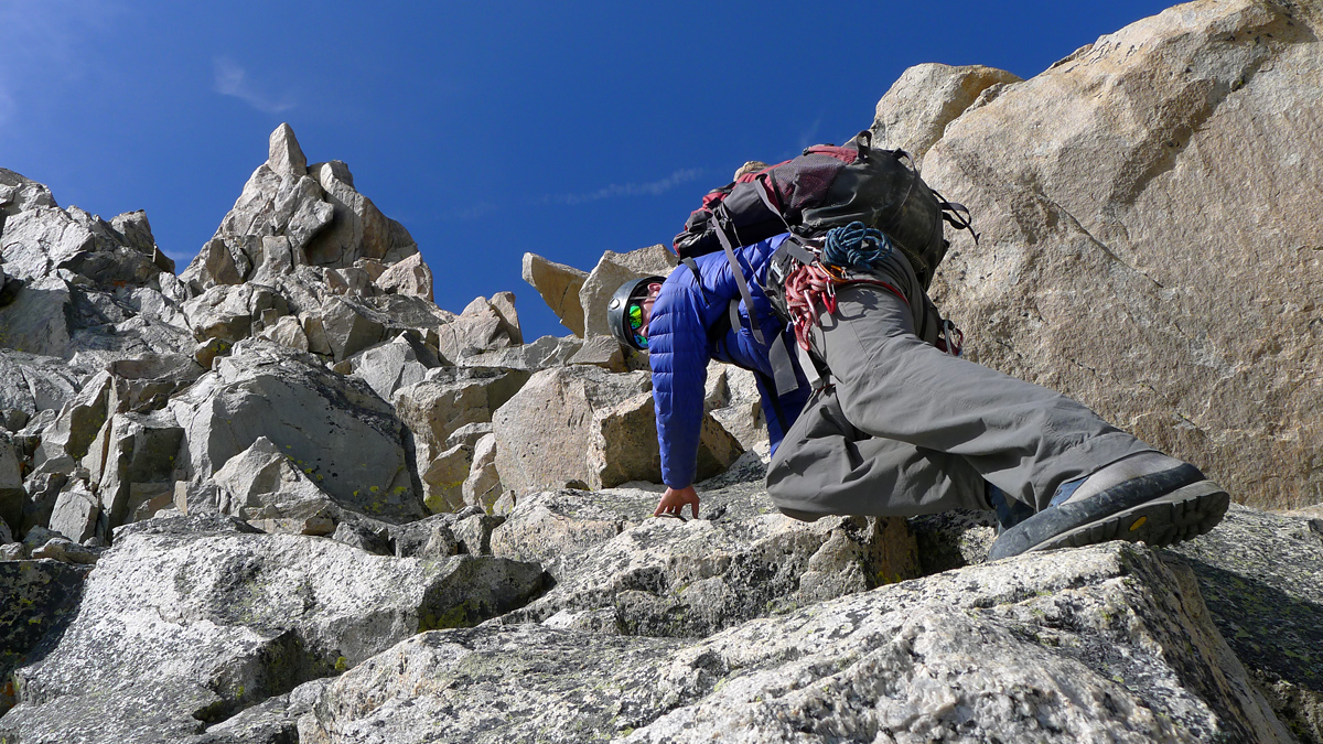
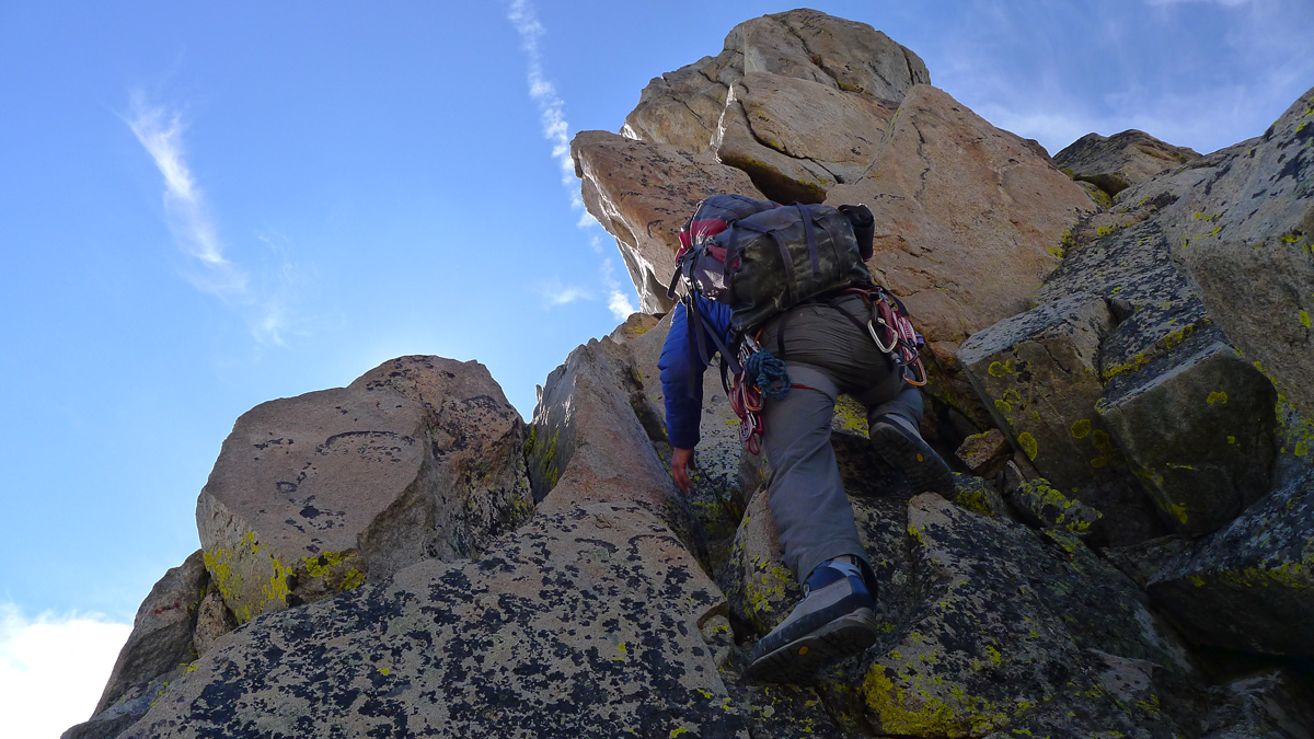
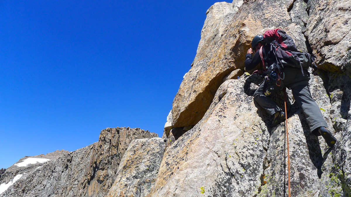
After about 150 feet of scrambling we put on rock shoes and travel short rope style for a bit, keeping an eye out for the "traverse on small holds" on the west side that Bonney mentions. Leapfrogging each other with 15 or 20 feet of rope between us we visit both the east and west sides of the ridge briefly but never stray too far away. The exposure is noticable but the climbing easy and the rock quality generally good. Much 3rd and 4th class climbing is dabbled with brief low 5th class problems. The best path isn't entirely obvious, but it never takes much looking around to make progress.
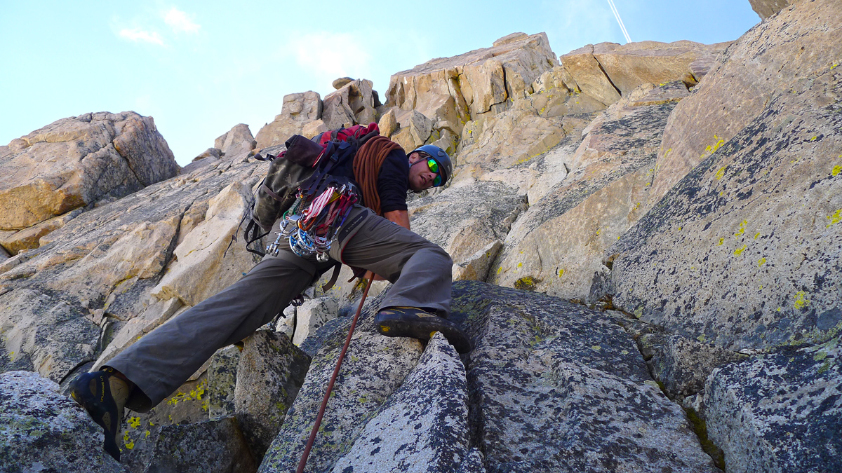
After gaining approximately 50 more vertical feet (~200 feet above the saddle) we find what could be the traverse pitch. Staying close to the crest at this point looks slabby and unprotected. Going left looks do-able but its considerably tougher than 5.5. Right looks promising, at least what we can see of it. We uncoil our rope in anticiaption of an honest to gosh pitch and Dominic disappears around the corner. The route description says the traverse is 150 feet but he yells off belay shortly before the middle mark of our 60m rope. I follow and enjoy the airy sneak around. Its not too difficult, though a slabby crux makes me glad to be in rock shoes. The thing protects like a charm and Dominic has sewn it up for me.

After traversing 100 feet we reach broken up 3rd to low 5th class terrain. Not knowing what lie ahead, we stay roped up and Dominic leads an easy pitch up toward the ridge crest, traversing slightly south and placing only 2 pieces of protection in a full ropes length. Changing strategy, we stow the rope and continue scrambling toward the ridge crest.

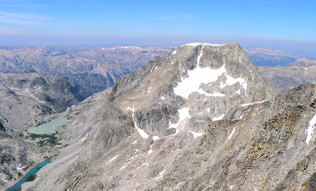
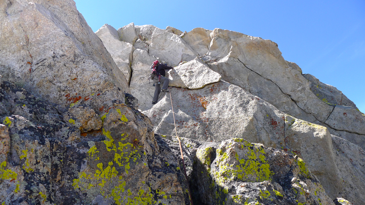


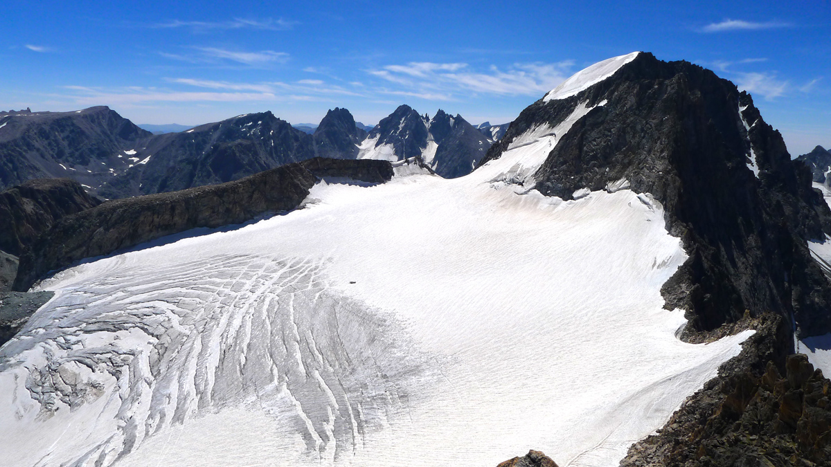
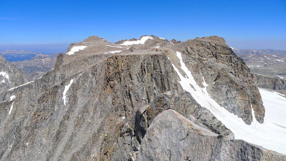
After absorbing the sweet experience of being on top of Mount Koven its time to devise a descent plan. Technical ridges present a dilemma. Namely, you can't rappel sideways! Having only a 60 meter rope along and being comfortable with the idea of downclimbing and reversing the majority of the route, we decide to retrace our steps as much as possible, protecting downclimbs and making short raps when necessary. Reversing the traverse pitch seems like a better idea than blindly rapping down the steep, unknown part of the ridge with a single rope. FYI those rappel slings that could once be found "all along the ridge" no longer exist. Never saw anything of the sort. We left two, one near the top and one near the bottom. The descent, like the ascent, took about 2 hours.
